
Menşe · Supplier Data Requests
The right data, from the right supplier, fast
Frameworks we map to
- EUDR
- FSC®
- PEFC
- SBP
- ISO 14001
- GRI
- KVKK
- GeoJSON
- EU Information System (TRACES)
- WGS84
- CSV / REST API
- ISO 27001 control mapping
Supplier Data Requests
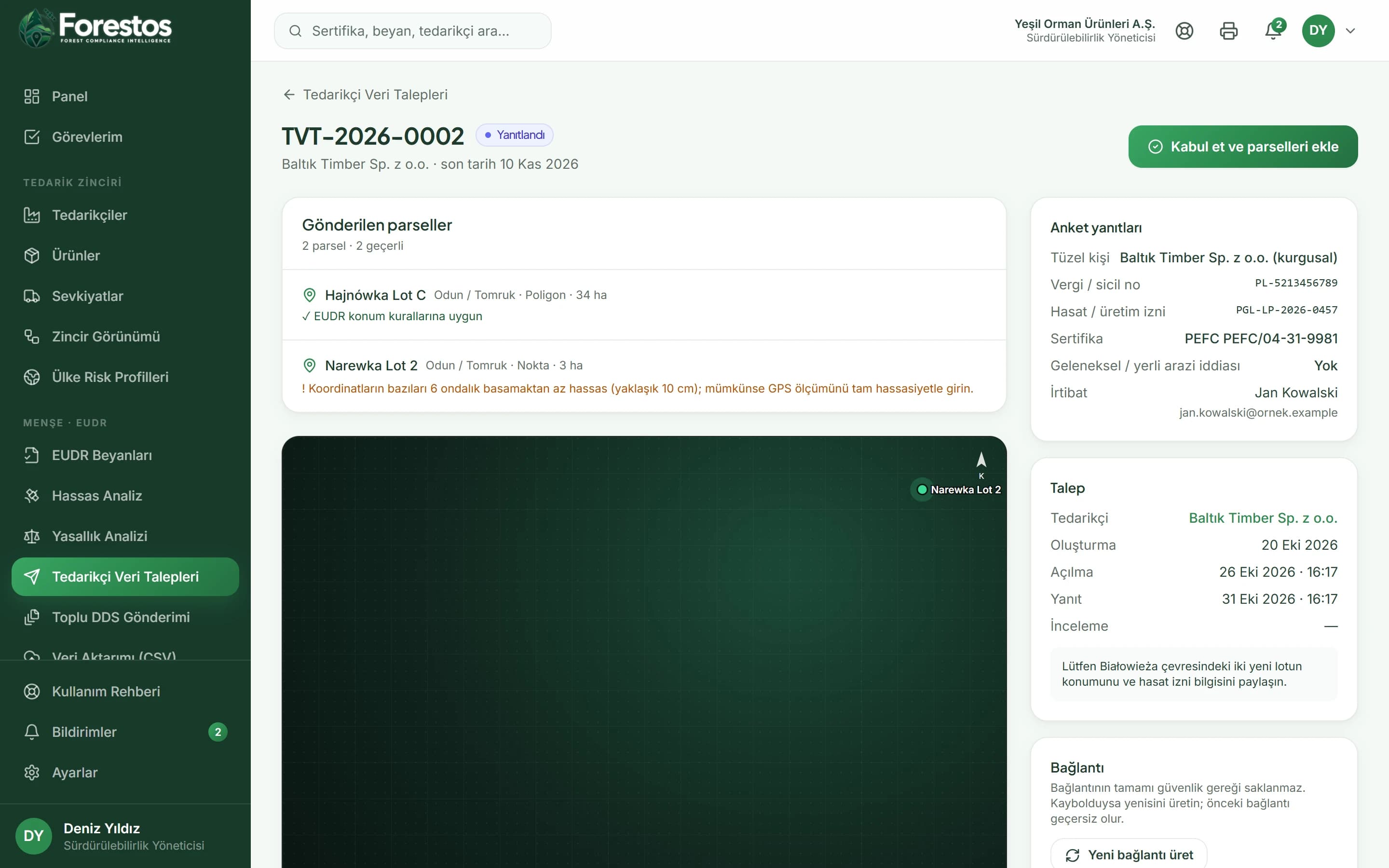
Instant geolocation validation
In the app
- /eudr/tedarikci-talepleri
After logging in you reach these screens from the menu (the app interface is in Turkish).
Review on one screen
In the app
- /eudr/tedarikci-talepleri
After logging in you reach these screens from the menu (the app interface is in Turkish).
Work with Supplier Data Requests confidently and at scale
The Menşe toolset
Not just Supplier Data Requests: the whole flow
Menşe
Precision Deforestation Analysis
Explainable plot-level verdicts against the cut-off date
Menşe
Country-of-Origin Legality Review
Checklist against the law of the country of origin, plus expert review
Menşe
ERP & API Integration
Plot, order and analysis flow via CSV and REST API
Menşe
Due Diligence Statements & TRACES
Bulk approval, submission and reference checks
Frequently asked questions
Frequently asked questions about Supplier Data Requests.
Would you like a short introductory call?
Get in touchDoes the supplier need to open an account?
No. The supplier opens the form through a link of their own; the link can no longer be used once it expires or after it is accepted.
Which coordinate formats do you accept?
A single point ('latitude, longitude'), a line-by-line coordinate list and GeoJSON (Point, Polygon, Feature, FeatureCollection).