
Gözcü · Change Detection & Prioritisation
See hazards before they become emergencies
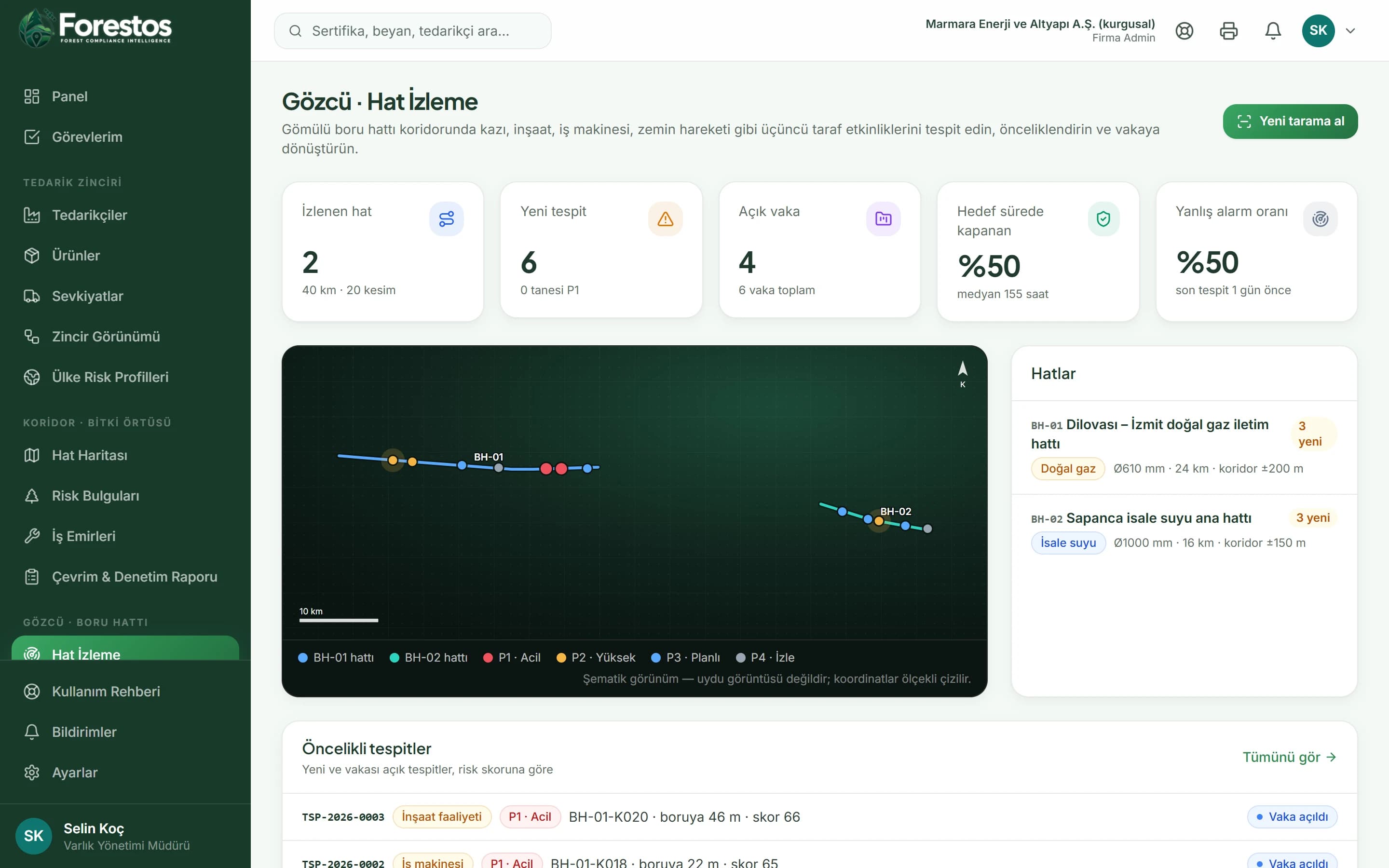
With every new scan, changes in the route corridor are detected, repeats in the same place are merged, and a risk score with a P1-P4 priority is calculated.
Frameworks we map to
- EUDR
- FSC®
- PEFC
- SBP
- ISO 14001
- GRI
- KVKK
- GeoJSON
- EU Information System (TRACES)
- WGS84
- CSV / REST API
- ISO 27001 control mapping
Change Detection & Prioritisation
A context-aware score
An excavation 20 metres from the line is not the same as a new building 180 metres away; distance, depth, location class and persistence all feed the score.
In the app
- /gozcu
- /gozcu/tespitler
After logging in you reach these screens from the menu (the app interface is in Turkish).
Merging repeats
A change of the same type at the same spot does not open a new detection; it is added to the existing detection's observation series.
In the app
- /gozcu
- /gozcu/tespitler
After logging in you reach these screens from the menu (the app interface is in Turkish).
Work with Change Detection & Prioritisation confidently and at scale
Seven threat types: excavation, construction activity, heavy machinery, ground movement, new structures, vegetation clearing and erosion. On the map every detection is shown in the colour of its priority.
The Gözcü toolset
Not just Change Detection & Prioritisation: the whole flow
Frequently asked questions
Frequently asked questions about Change Detection & Prioritisation.
Would you like a short introductory call?
Get in touchWhere does the scan data come from?
In the demo environment no satellite provider is connected; observation series are generated synthetically and the screens say so plainly. In a live installation the provider you choose plugs into the same interface.